
Bromo After the 2026 Fires: Archive and Access Rules
Bromo's 2026 fires: an archive of August and September events, with an access update dated 15 October. Check the 1 km exclusion zone and plan your visit.
5 min read
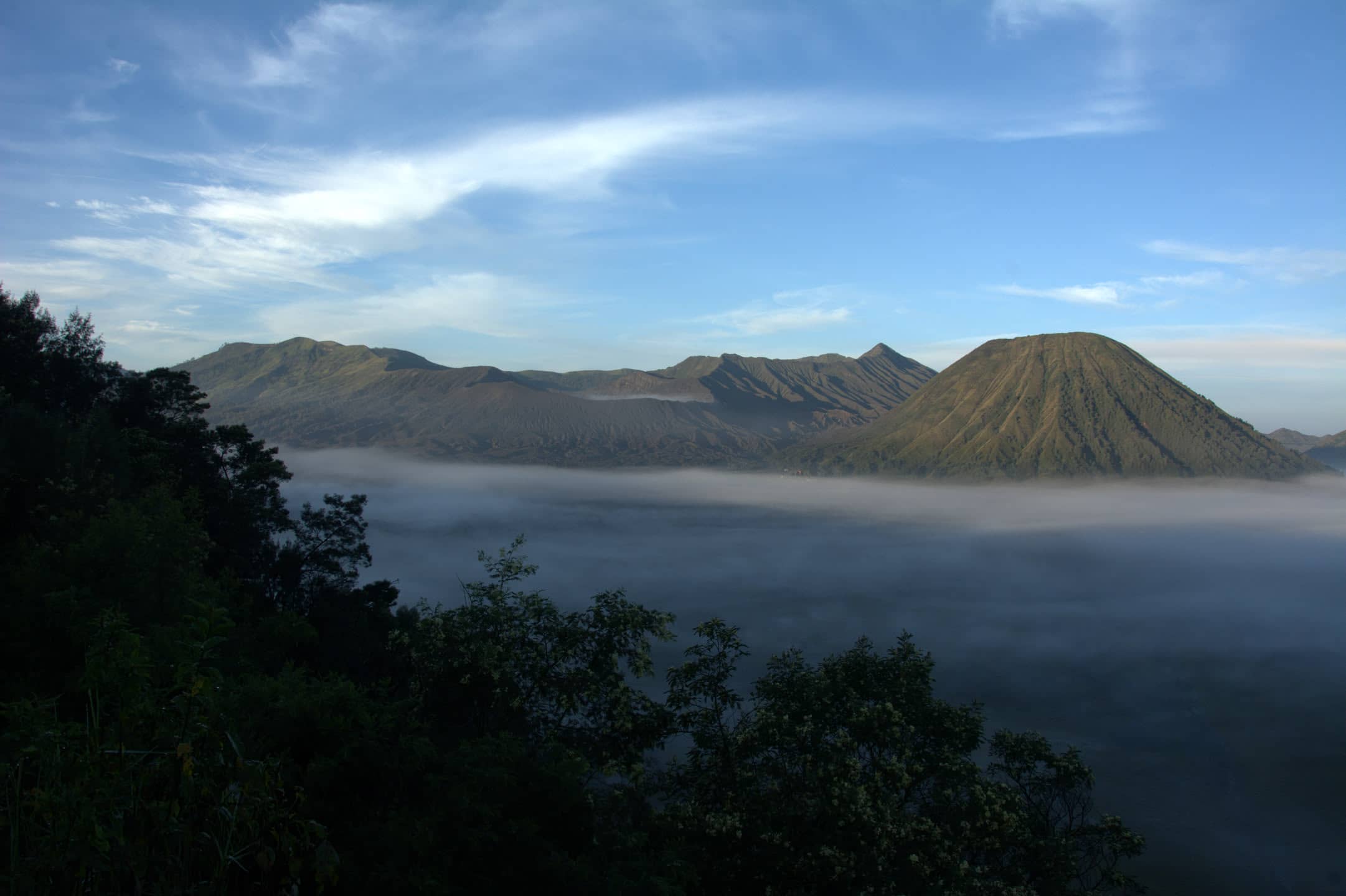
Update, 15 October 2026: PVMBG maintains a 1 km exclusion zone around Bromo's active crater. See the independent Bromo guide for current rules and a visit plan. The fire and reopening account below is an archive of information gathered by 7 September 2026, not confirmation of present access.
The material gathered then described visits resuming on 20 August 2026 at 00:01 WIB through five gates: Cemorolawang (Probolinggo regency), Wonokitri (Pasuruan), Jemplang and Coban Trisula (Malang), and Senduro (Lumajang). The reported quota was 2,752 visitors per day. The first day recorded 1,086 visitors; no further notice closing all of Bromo had been found by 5 September.
What burned and what didn't
The fire ran from 3 to 15 August 2026 (declared out on 14.08, with a flare-up at point P30 on 17.08), and the final area is 1,121.66 ha. The main burned area is the savanna, the one with Bukit Teletubbies, closed to tourists since 4.08. The fire zone also took in Penanjakan and Bukit Kingkong/Kedaluh. On 28.08 at 01:36 a new fire appeared "mendekati Bukit Kingkong" (approaching Bukit Kingkong), with flames heading towards the road to Penanjakan; there were no reports of it being put out and none of entry being closed. On 31.08 the Ministry of Forestry opened an arson investigation.
| Spot on the classic route | Account gathered by 7 September 2026 |
|---|---|
| Sea of Sand (Lautan Pasir) | untouched; jeep access confirmed from 20.08 |
| Cemoro Lawang | untouched; TNBTS fire trucks are stationed there permanently |
| Savanna / Bukit Teletubbies | burned, closed since 4.08; regrowing, black in places |
| Penanjakan | in the fire zone (a hotspot on 11.08; fire heading for the road on 28.08); no notice after 20.08 says either "open" or "closed" |
| Bukit Kingkong / Kedaluh | in the fire zone on 13.08 and 28.08; same as above |
| Crater rim / 249 steps | not touched by the fire; the restriction has a different source (below) |
Archive photographs of a green savanna do not show the effects of these fires. Early September material described grass returning and seedlings being prepared, but did not confirm the savanna's reopening. Check today's permitted routes with the park before arranging a drive.
The crater rim: update of 15 October 2026
The PVMBG report dated 15 October 2026 gives Level II (Waspada) and a 1 km exclusion zone around the active crater. The rim is not an optional extra to negotiate with a driver. Plan an accessible viewpoint outside the zone, and check the latest report and TNBTS rules before travelling.
Tickets: the tariff and where to buy
TNBTS tariff published on 24 October 2024, effective 30 October 2024; source checked again on 15 October 2026:
| Who | Price per person per day |
|---|---|
| Indonesian visitor, working day | 54,000 IDR |
| Indonesian visitor, day off | 79,000 IDR |
| foreign visitor, any day | 255,000 IDR |
Vehicles: motorbike 5,000 IDR, car 10,000 IDR. Insurance is included in the ticket (5,000 IDR for a foreigner). Entering without a ticket carries a fine of five times the rate.
Book online through the TNBTS portal. Select your date and check the total, availability and payment requirements before purchasing.
Since the reopening, campfires, cigarette butts and anything that could start a fire are banned, and you're required to report smoke.
Semeru and Ranu Kumbolo: September 2026 archive
Material gathered by 7 September described the closure of the Semeru trail and Ranu Kumbolo from 26 August 2026 after a fire in Blok Ranu Kembang. It also reported permits held by 1,235 people in 162 groups and separate access to Ranu Regulo. This records that period; check each place's current rules separately with TNBTS.
Wulan Kapitu: the calendar recorded in September
The September account cited Wulan Kapitu restrictions from 8 December at 15:00 to 9 December at 23:59, based on the January description of the TNBTS calendar in IDN Times. Confirm the current dates and scope of restrictions with the park before booking a December stay.
Two days before you go
Read park notices and the latest MAGMA report, including its recommendations, not just the alert number. If a route is unavailable, change the plan; do not assume it will reopen the next morning or that another volcano or waterfall is accessible. The article on Ijen's September 2026 closure is a separate historical account of that event.
The rest of the logistics
Transport, Cemoro Lawang accommodation, viewpoints and a morning plan are in Mount Bromo without a tour, updated 15 October 2026. For the onward journey, see Volume 1: East Java, or start planning the wider route with the Java travel guide.
Sources
- ANTARA, 19.08.2026: Mount Bromo tourism to reopen Aug 20 after forest fires (English)
- PVMBG / MAGMA Indonesia: Bromo activity report of 4.09.2026 (Indonesian)
- TNBTS, 24 October 2024: tariff under PP 36/2024, effective 30 October 2024
- WartaBromo, 28.08.2026: Bromo kembali terbakar, api dekati Bukit Kingkong (Indonesian)
FAQ
What period does this account of Bromo's reopening cover?
It records information gathered by 7 September 2026, following the resumption of visits on 20 August. It does not confirm present access to roads or viewpoints. Check current TNBTS notices for your dates.
Can you climb to the Bromo crater rim?
The PVMBG report dated 15 October 2026 maintains the 1 km exclusion zone around the active crater. Do not plan a rim climb. Reopening parts of the park after a fire does not remove the volcanic restriction.
How much is the Bromo ticket in 2026?
The TNBTS tariff effective 30 October 2024 lists IDR 255,000 per foreign visitor per day, including IDR 5,000 insurance. The source was checked on 15 October 2026; confirm the final amount in the official booking portal.
Did the Teletubbies savanna at Bromo burn?
The material gathered by 7 September 2026 described the savanna as the main area affected by August's fires and excluded from visits. This historical account does not establish today's vegetation or route access.